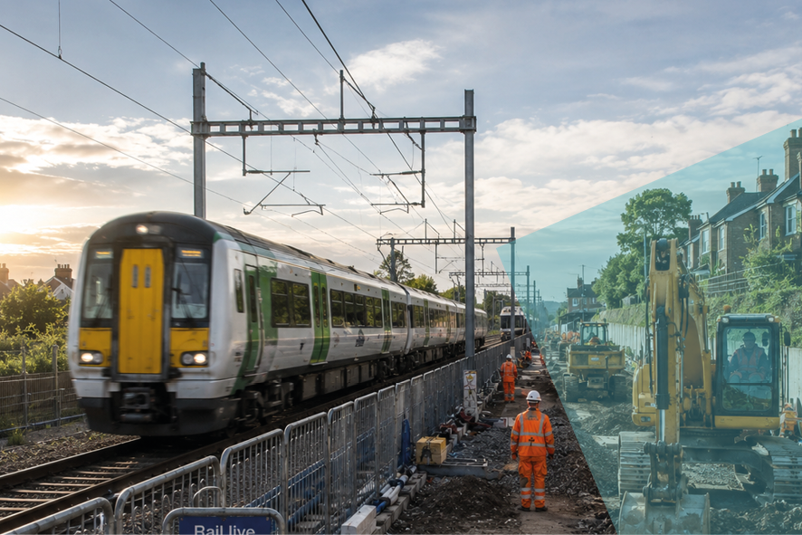
Right-of-Way & corridor encroachment management | Rail, transit, highways

Recognize this?
A contractor needs to stage works beside a live rail corridor. The request is a phone call and a follow-up email.
By the time it’s reviewed the dates have slipped, the safety line was never properly checked, and you’re carrying the liability for an encroachment nobody fully mapped.
From corridor liability to controlled clearance
Turn right‑of‑way risk into a controlled, auditable process: every request is checked against safety geometry, routed through the right technical reviewers, and issued as a map‑accurate clearance that defines exactly where and when work is allowed.
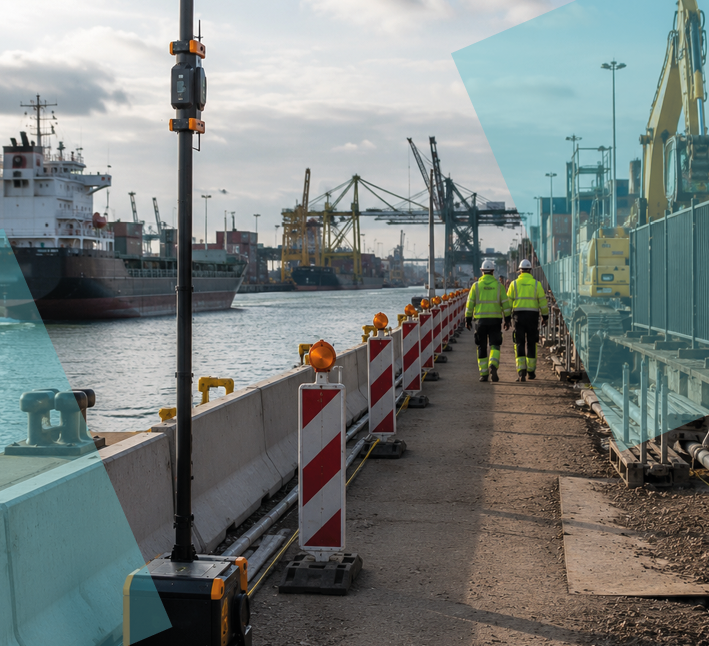
Every application is cross-referenced against your railway or highway safety geometry in real time.
Requests flow through the right engineering branches automatically.

Approvals define precisely where and when a contractor may enter the corridor — and print the proof.

More clearances. Less workload.
Across Eaglebe deployments, a transparent, map-driven portal typically doubles submitted applications while cutting the handling effort dramatically — because rules are enforced upfront, footprints are auditable, and high‑risk work gets filtered out before it reaches your team.


Book a Demo! And guard your physical domain — on one map
See how Eaglebe Spatial Orchestration turns your existing GIS into an active clearance engine, so you can coordinate works, manage risk, and prevent conflicts before anyone breaks ground.
Book your demo!