Public-space coordination for cities | Events, works & access

Recognize this?
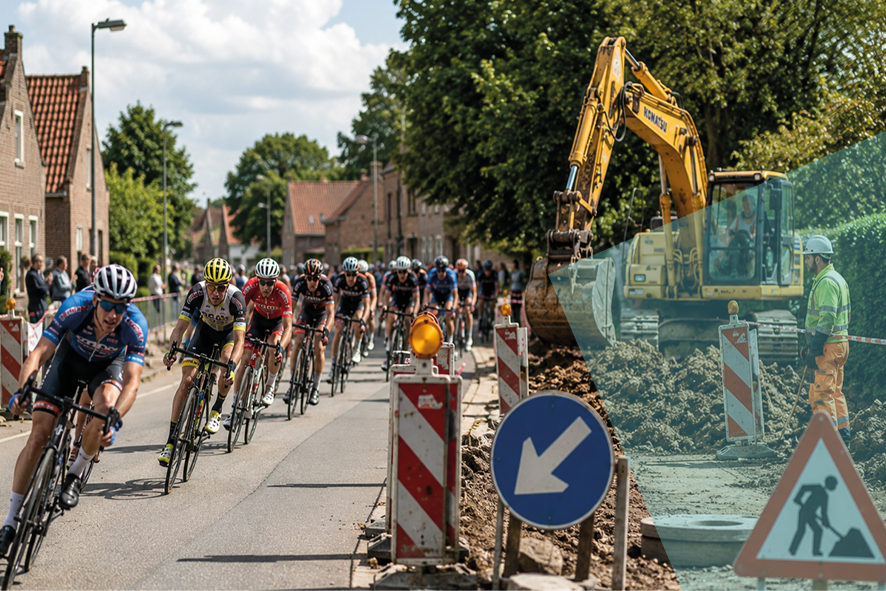
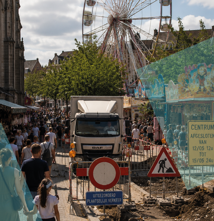
Film shoots, marathons, roadworks, festivals and emergency repairs all compete for the same streets.
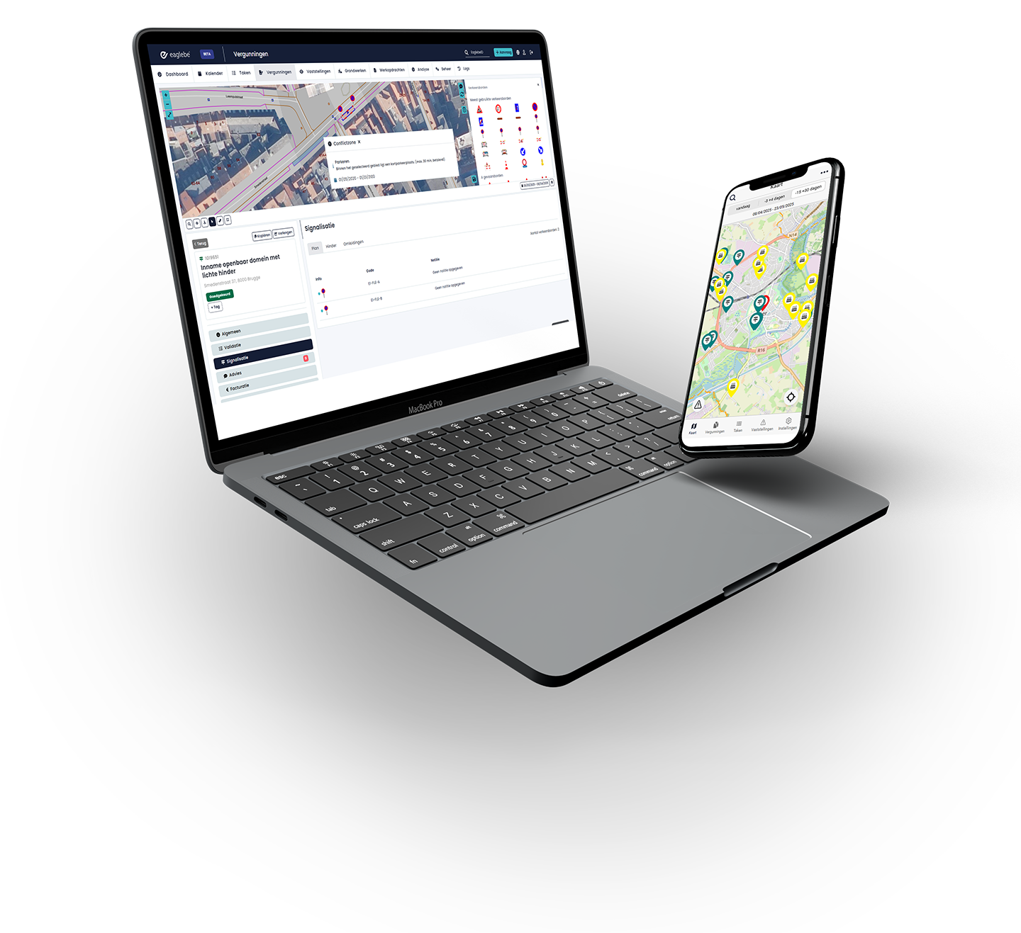
Eaglebe SOP puts every department on a single, time-aware map so conflicts surface before the permits go out.
Cross-departmental coordination, built in
Stop coordinating across silos. Eaglebe Spatial Orchestration gives every department a shared, time-aware map where conflicts are flagged early and collaboration happens in structured workflows—not email threads.

Transport, public works, police and events all work from the same time-aware map.
The moment an organizer sketches a request, overlaps with existing plans are flagged.

Departments collaborate through role-based workflows instead of forwarding emails.

More clearances. Less workload.
Across Eaglebe deployments, a transparent, map-driven portal typically doubles submitted applications while cutting the handling effort dramatically — because rules are enforced upfront, footprints are auditable, and high‑risk work gets filtered out before it reaches your team.


Book a Demo! And guard your physical domain — on one map
See how Eaglebe Spatial Orchestration turns your existing GIS into an active clearance engine, so you can coordinate works, manage risk, and prevent conflicts before anyone breaks ground.
Book your demo!