Platform
How it works | Esri ArcGIS overlay

Your GIS, turned into a live clearance engine.
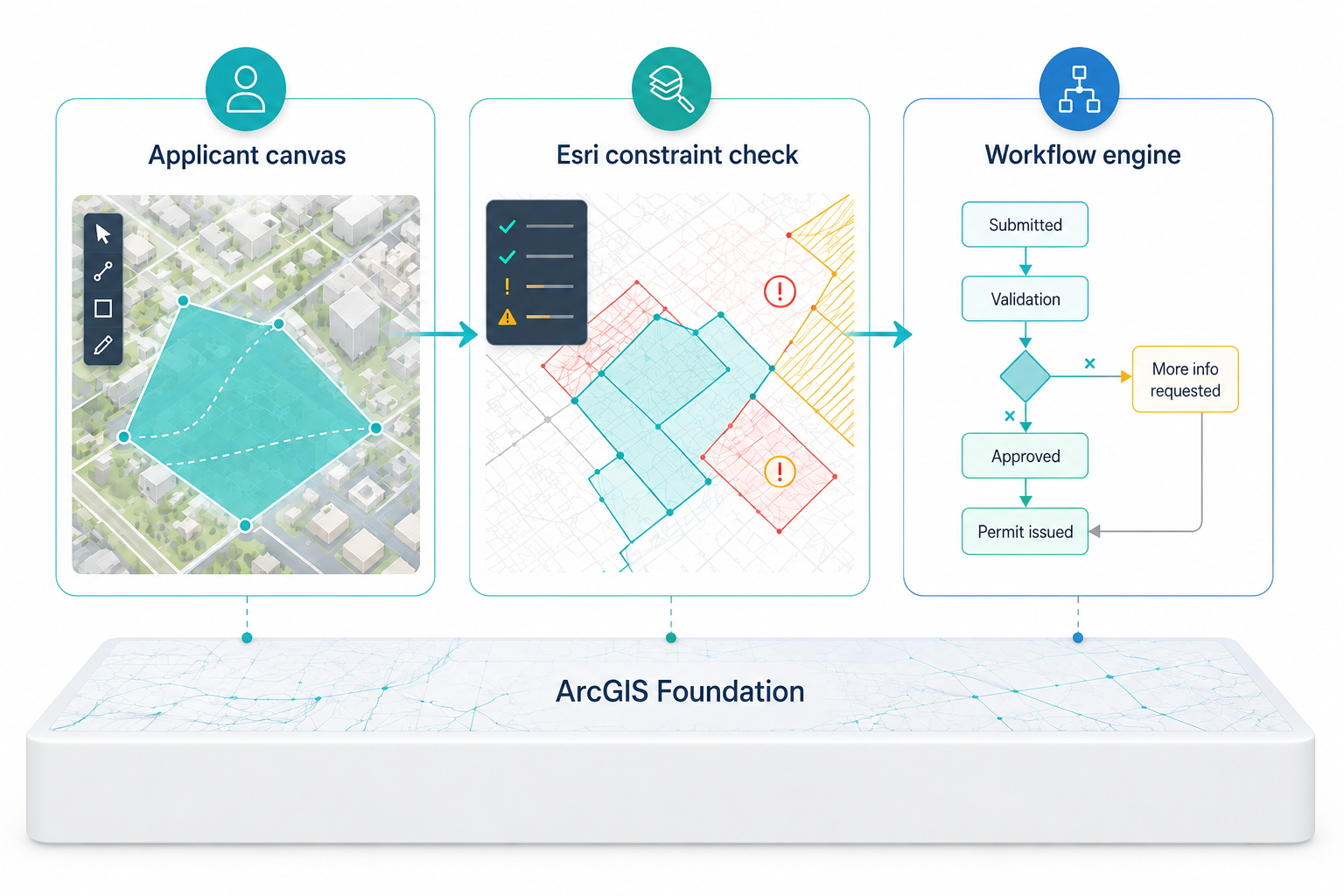
An overlay, not a rip-and-replace
Your Esri ArcGIS foundation stays the system of record. Eaglebe SOP becomes the system of engagement on top of it — reading your live layers through secure REST APIs and writing every cleared request back into your GIS.
Nothing is duplicated. Nothing is siloed.
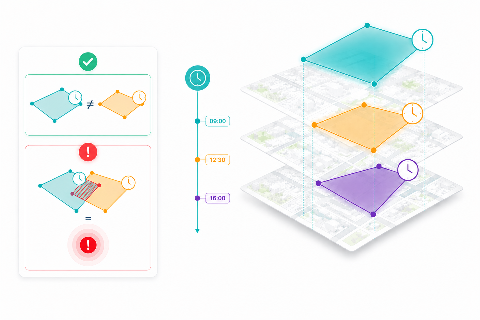
Every request is a shape with a clock attached
Eaglebe SOP never treats a request as a line of text.
Each one is a 4D spatial-temporal booking — a precise polygon paired with a start and an end time. Because a conflict only truly exists when two activities want the same place at the same moment, this is the only way to catch the overlaps that inboxes miss.
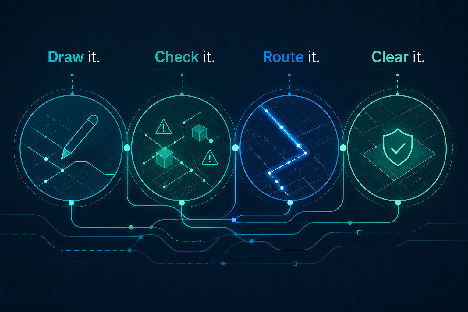
What's inside?
Everything you need to turn your GIS into a clearance workflow — from precise spatial intake to conflict prevention, approvals, and audit‑ready outputs.


Free polygons, parametric rotated rectangles, and buffered centre-lines.
Applicants see clashes with approved work before they hit submit, and resolve it themselves.

Every rule, escalation and hand-off is a setting, not a code change. The long chain of tasks runs itself.

Every approval prints a scale-accurate map of exactly what was authorized, over your background layers.

A self-service front office for applicants, a secure back office for your

Full logging, auditing and transaction tracking, built for utilities, defense and rail.

Add only what you need
- Financial processing & e-payment (optional) — fee calculation, invoicing and online
- Digital signing (optional) — legally binding cryptographic sign-off inside the
Deployed in your environment, on your terms
Because SOP handles mission-critical infrastructure data, it runs inside your own approved cloud or on-premise environment — or is hosted for you by a certified Merkator partner. The license covers the software and updates; hosting stays sovereign to you.
More about Merkator Group
Book a Demo! And guard your physical domain — on one map
See how Eaglebe SOP turns your existing GIS into an active clearance engine, so you can coordinate works, manage risk, and prevent conflicts before anyone breaks ground.
Book a Demo